All of the coloring pages displayed on this page are free for personal use (view full use policy). Any brands, characters, or trademarks featured in our coloring pages are owned by their respective holders and depicted here as fan art.
Remix, save, create, and share your favorite coloring pages at ColoringMonster.com!
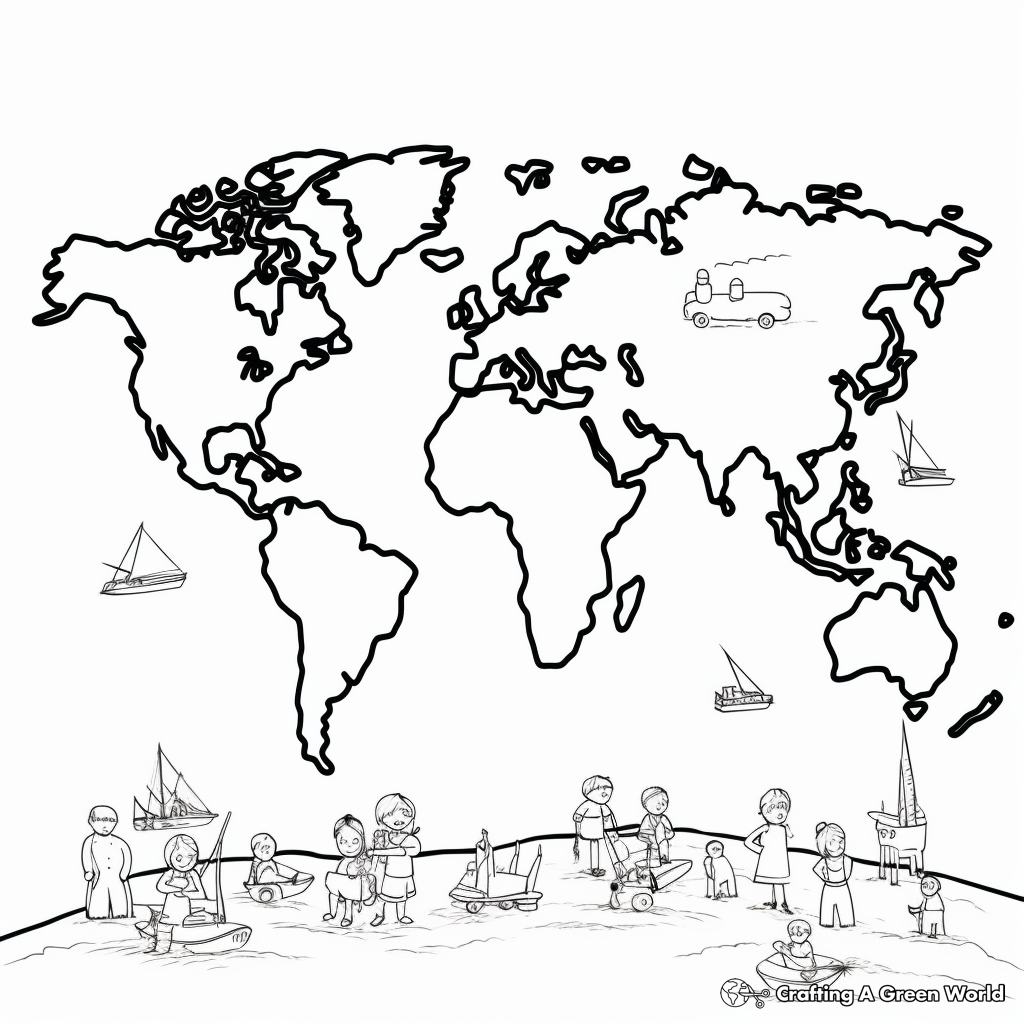
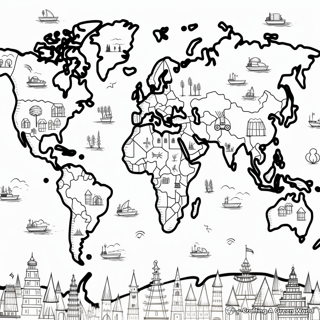
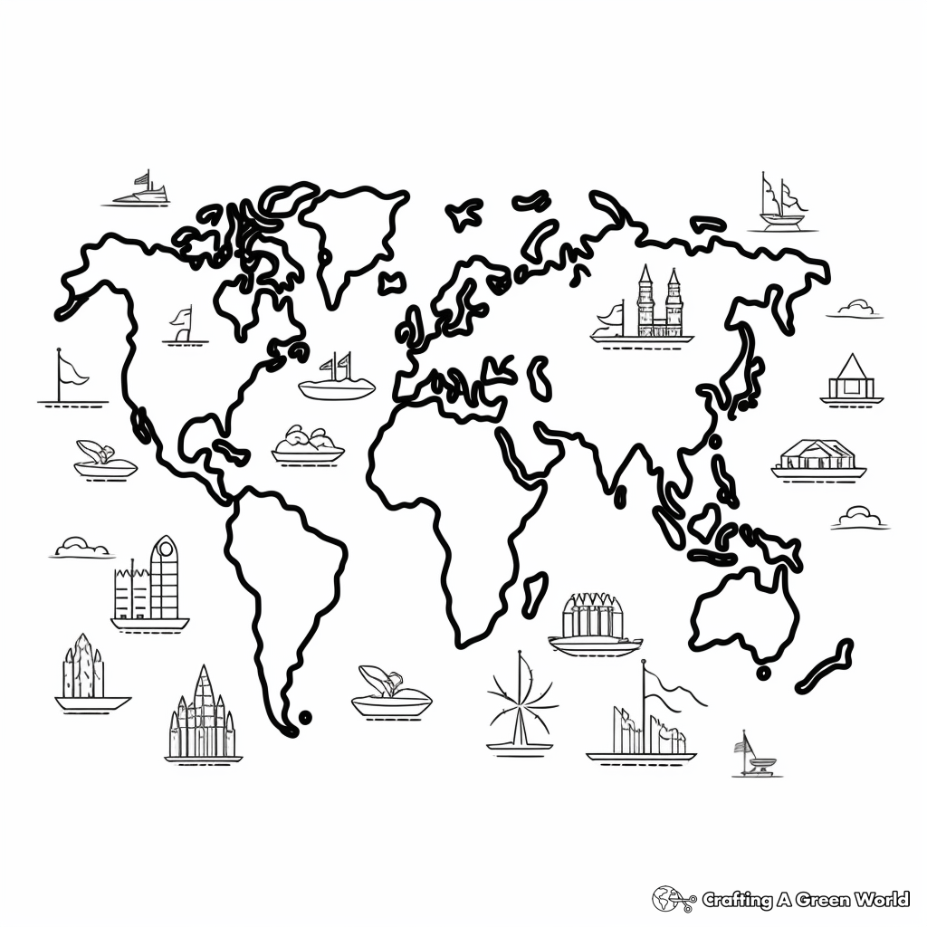
Please enjoy these world map coloring pages!Colorful Continents World Map Coloring Pages
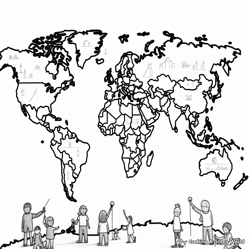
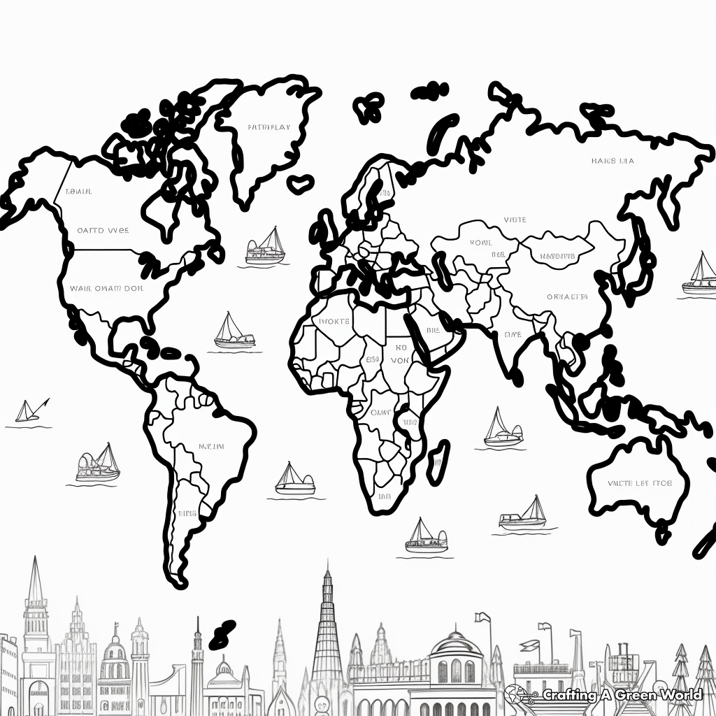
Label Your Own Countries World Map Coloring Pages
Ocean And Land World Map Coloring Pages
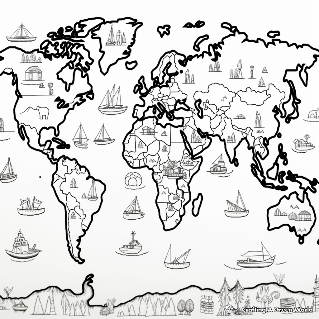
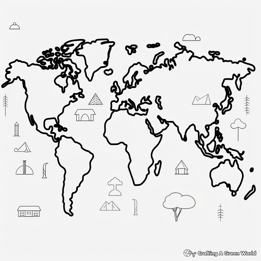
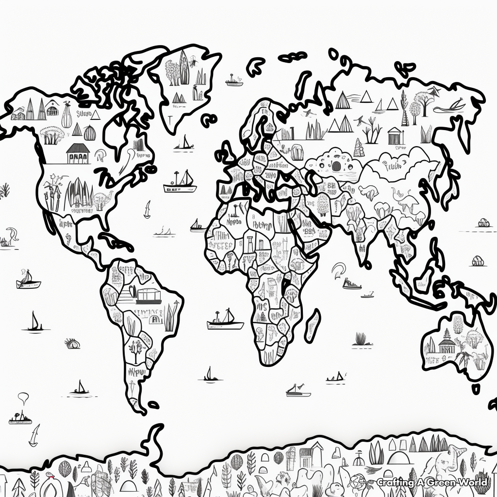
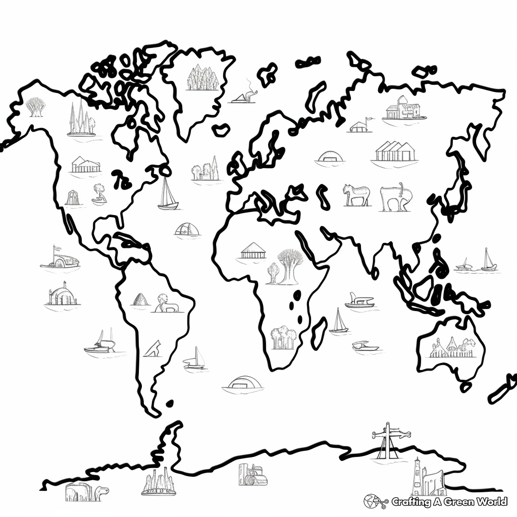
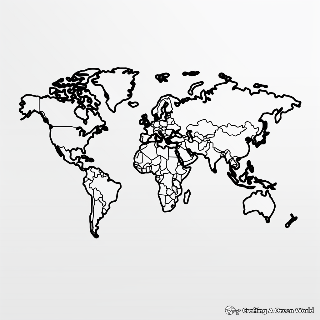
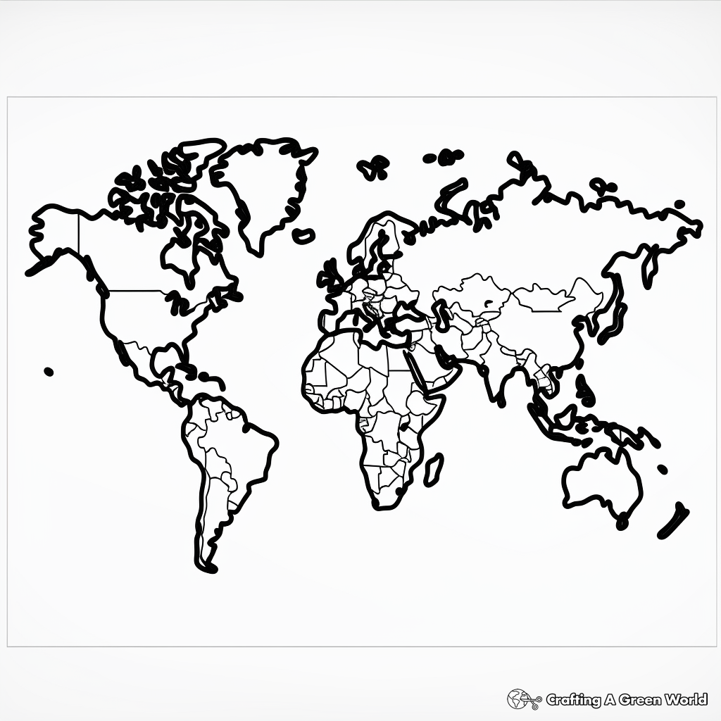
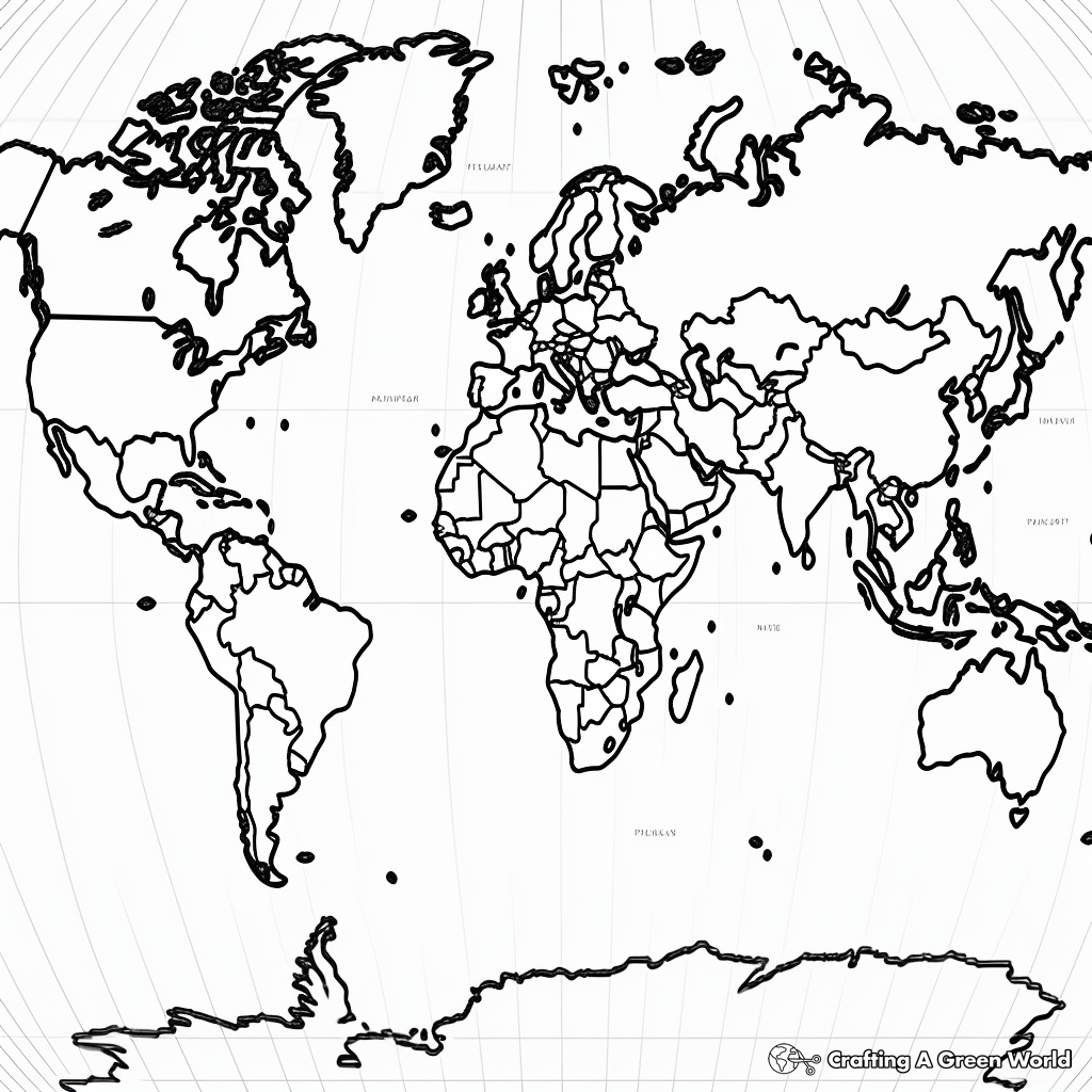
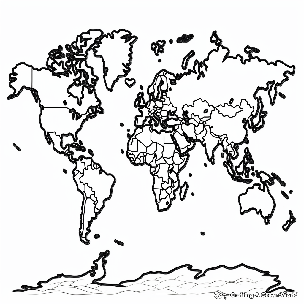
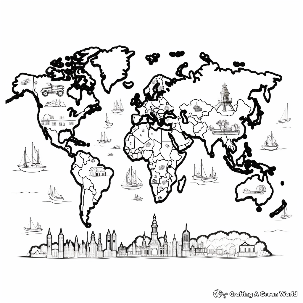
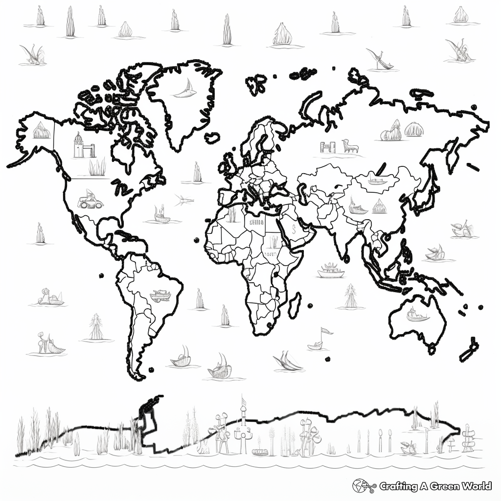
Large Scale Detailed World Map Coloring Pages
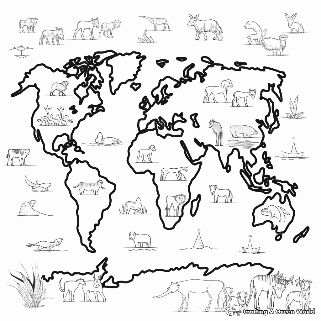
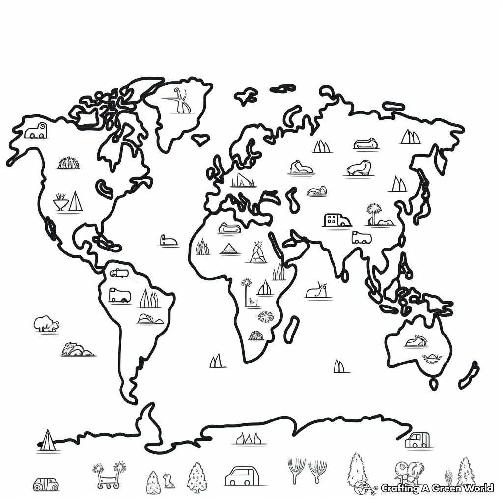
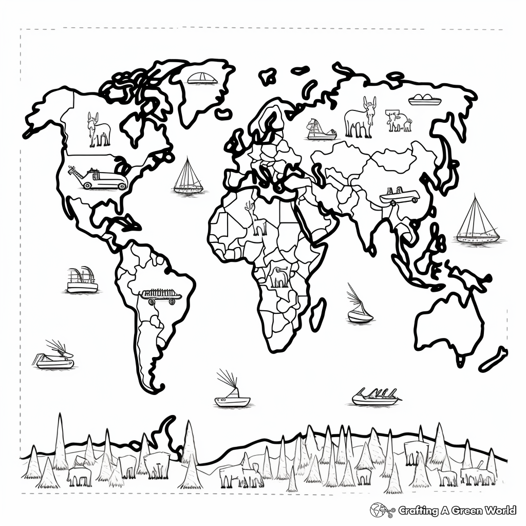
Seven Continents World Map Coloring Pages
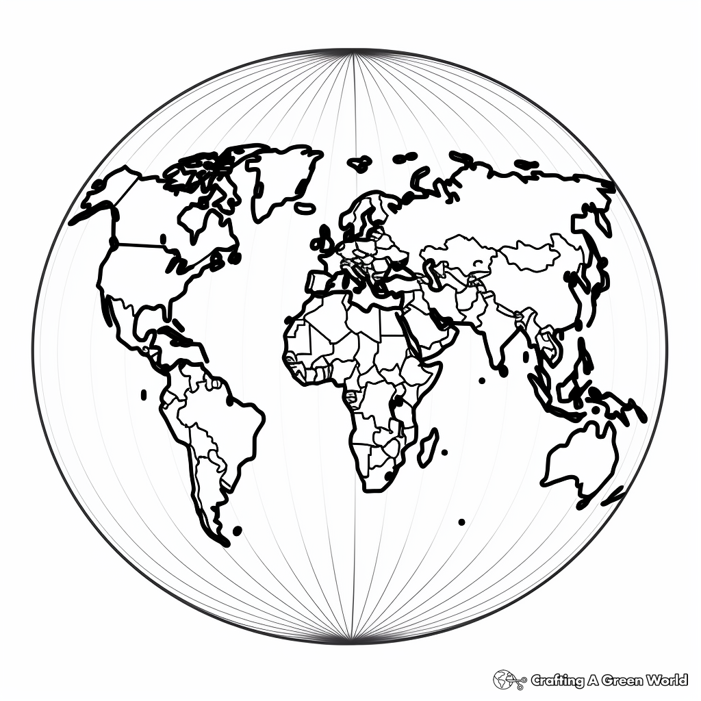
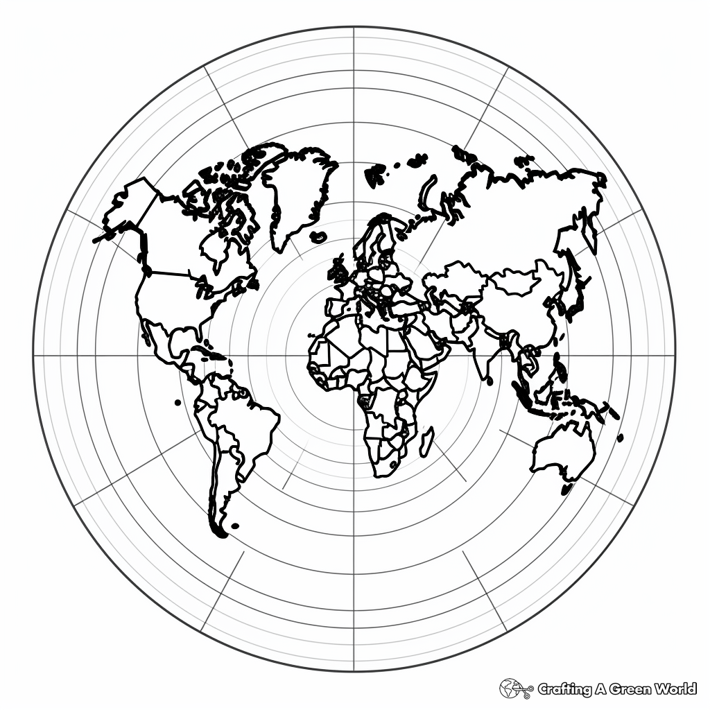
Hemispheres World Map Coloring Pages
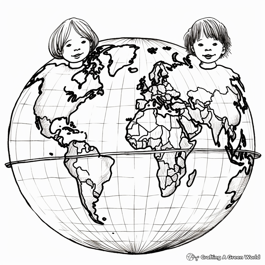
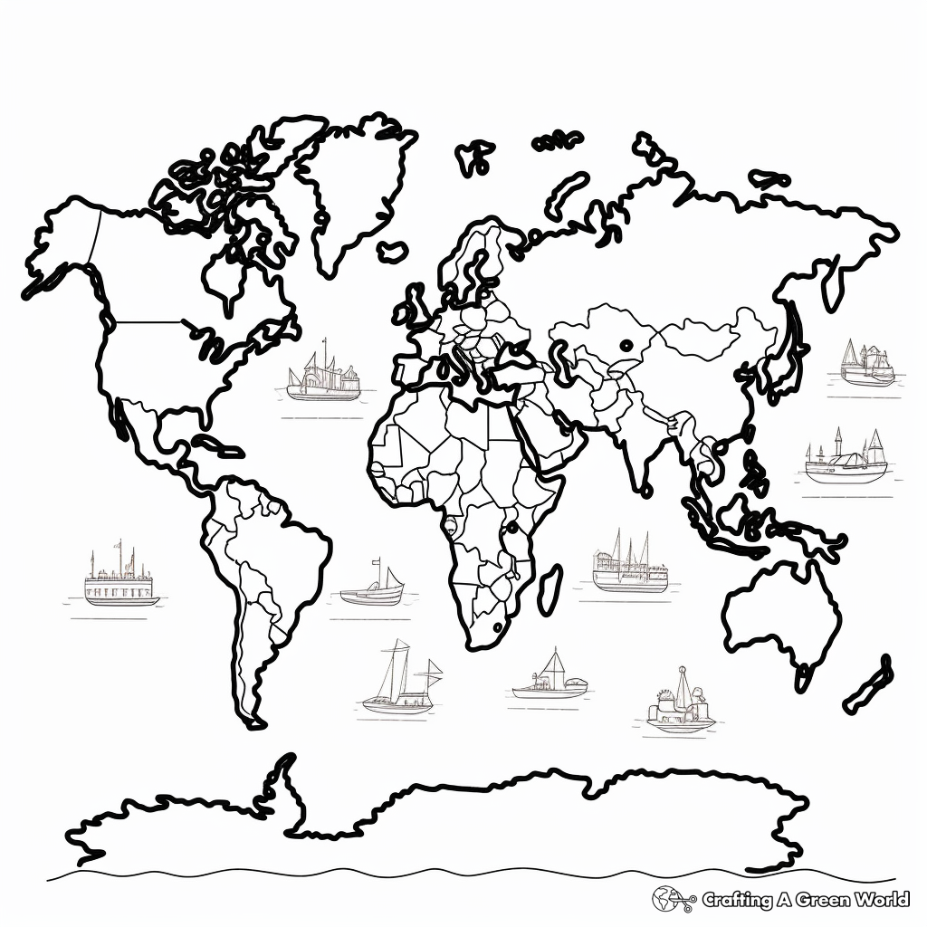
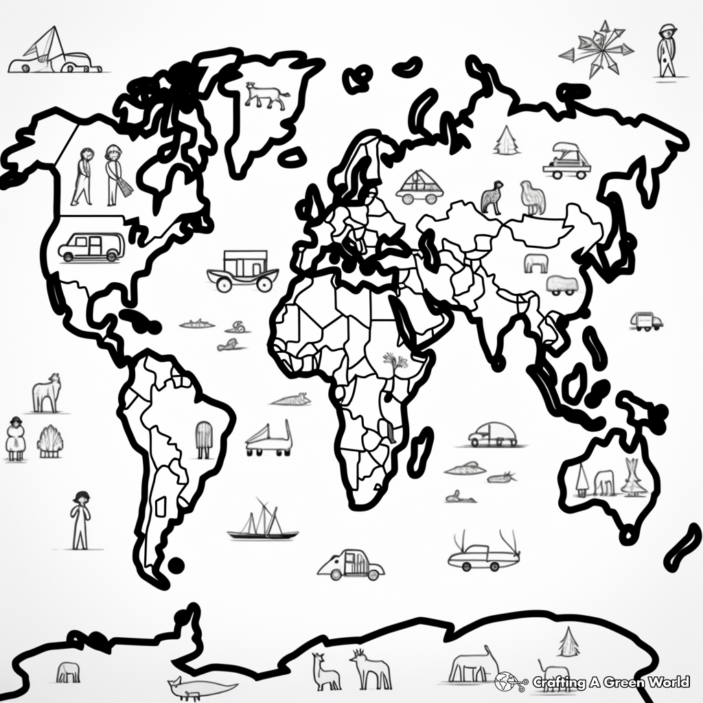
Political World Map Coloring Pages
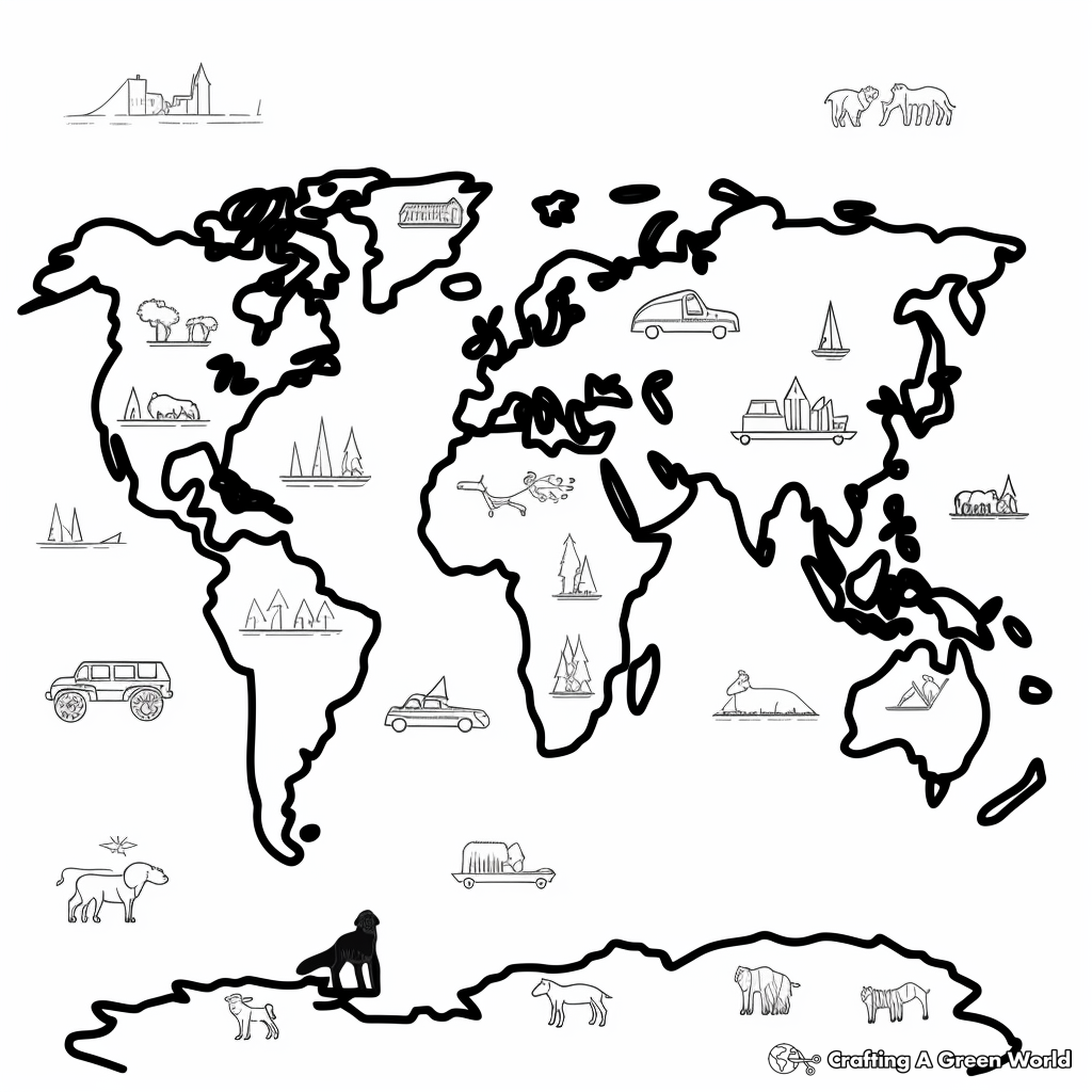
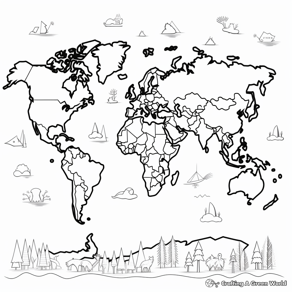
Physical World Map Coloring Pages
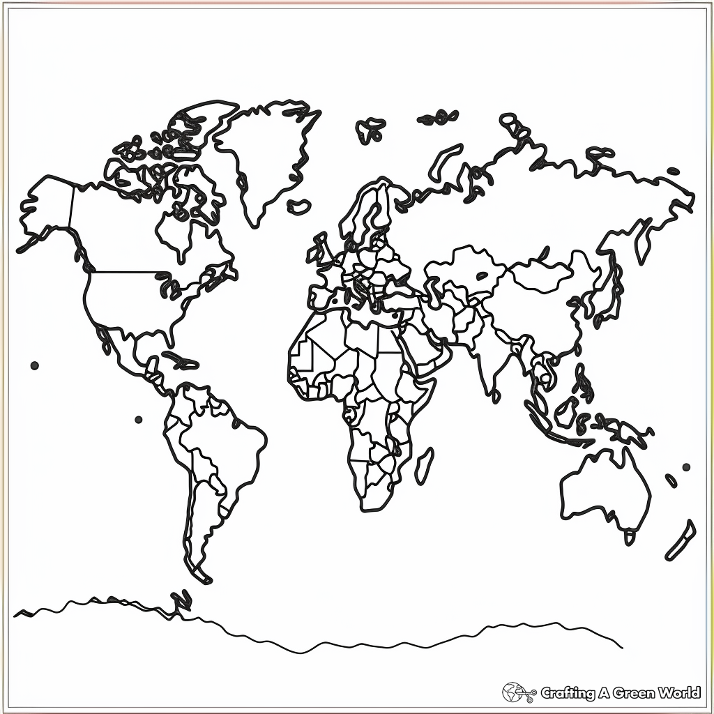
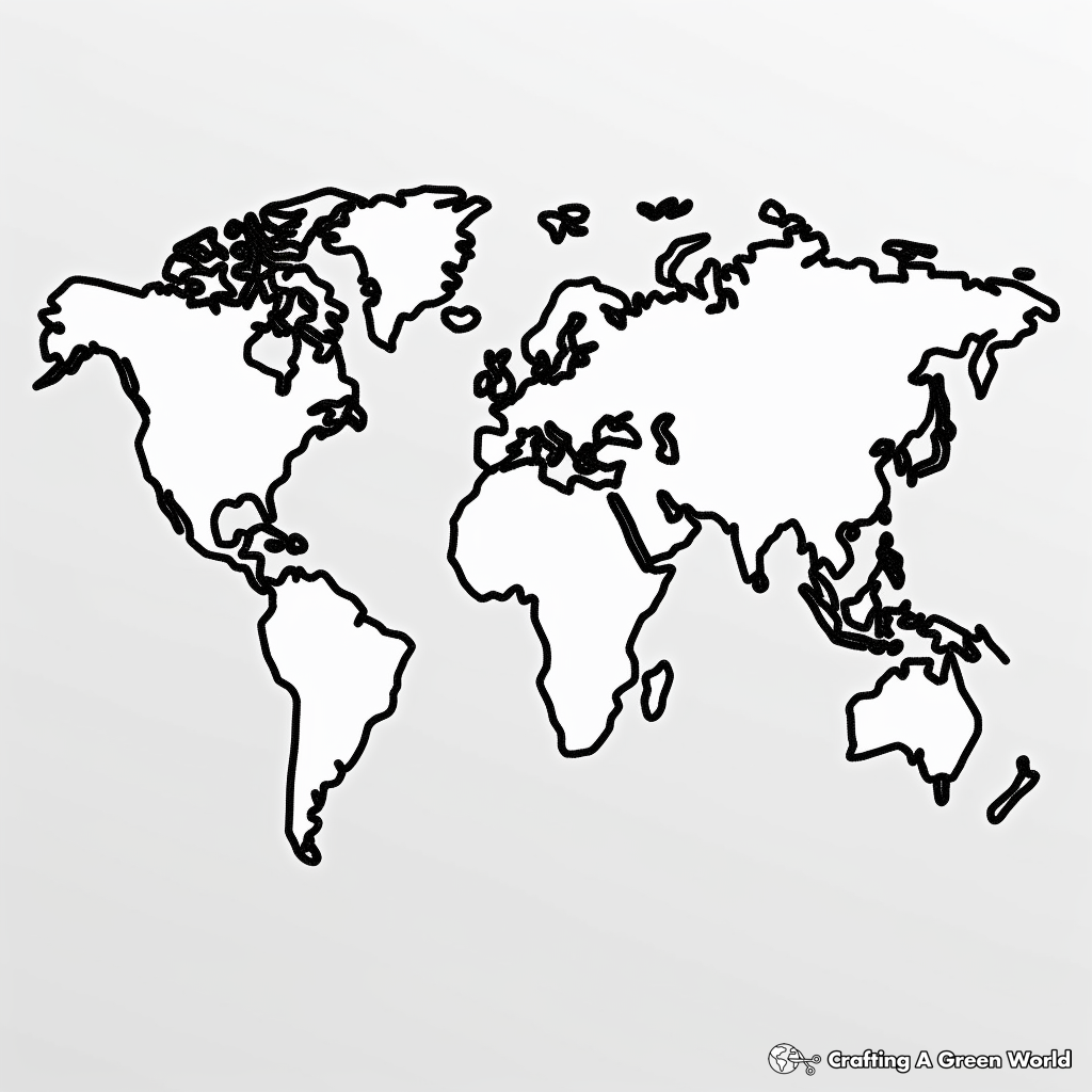
Blank World Map Coloring Pages
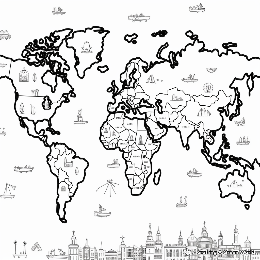
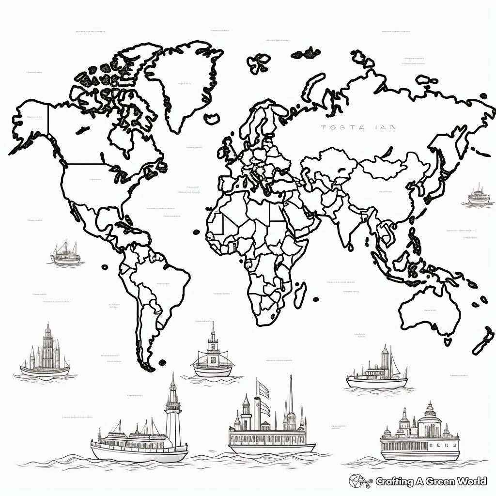
Countries And Oceans World Map Coloring Pages
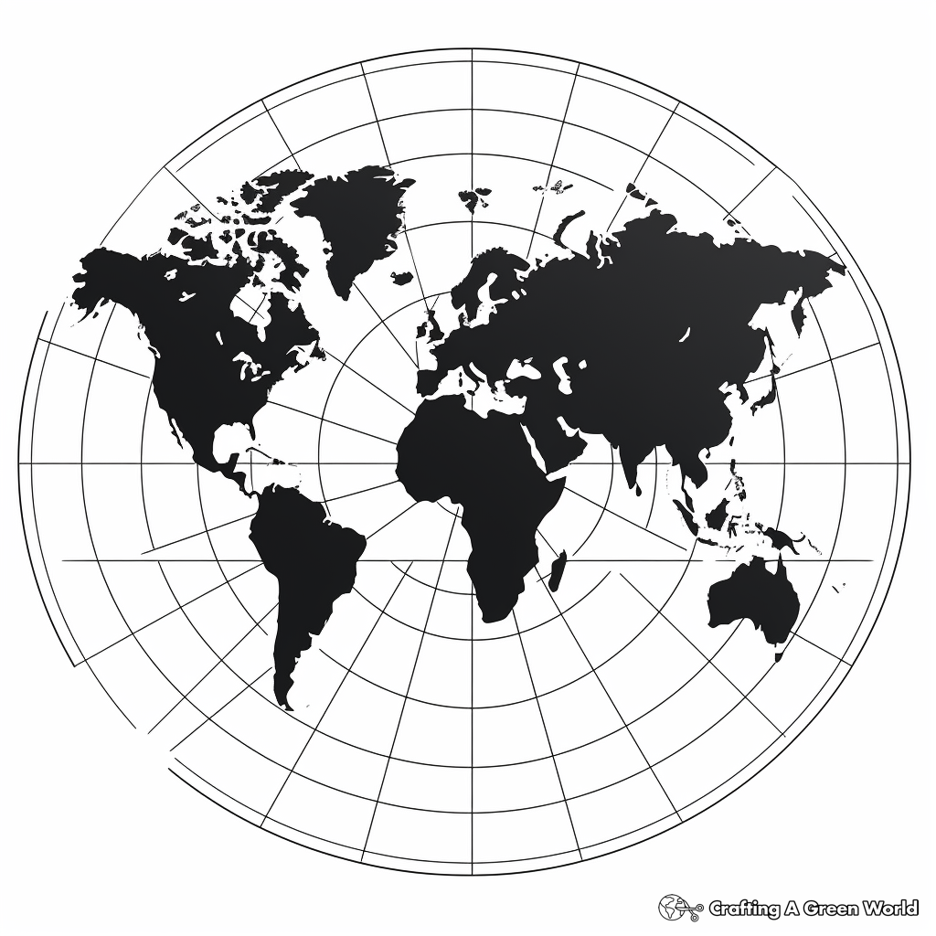
World Map With Meridians Coloring Pages
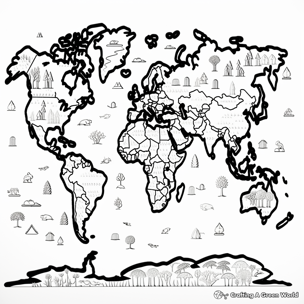
Climate Zones World Map Coloring Pages
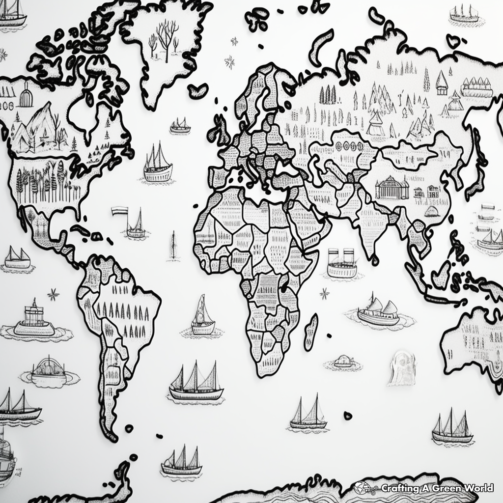
Topographical World Map Coloring Pages
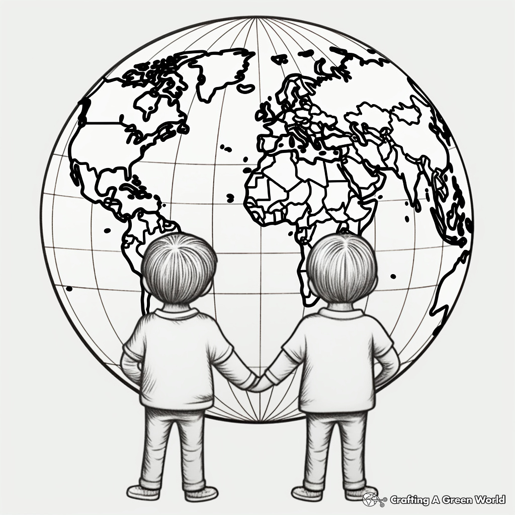
World Map with Longitude and Latitude Lines Coloring Pages
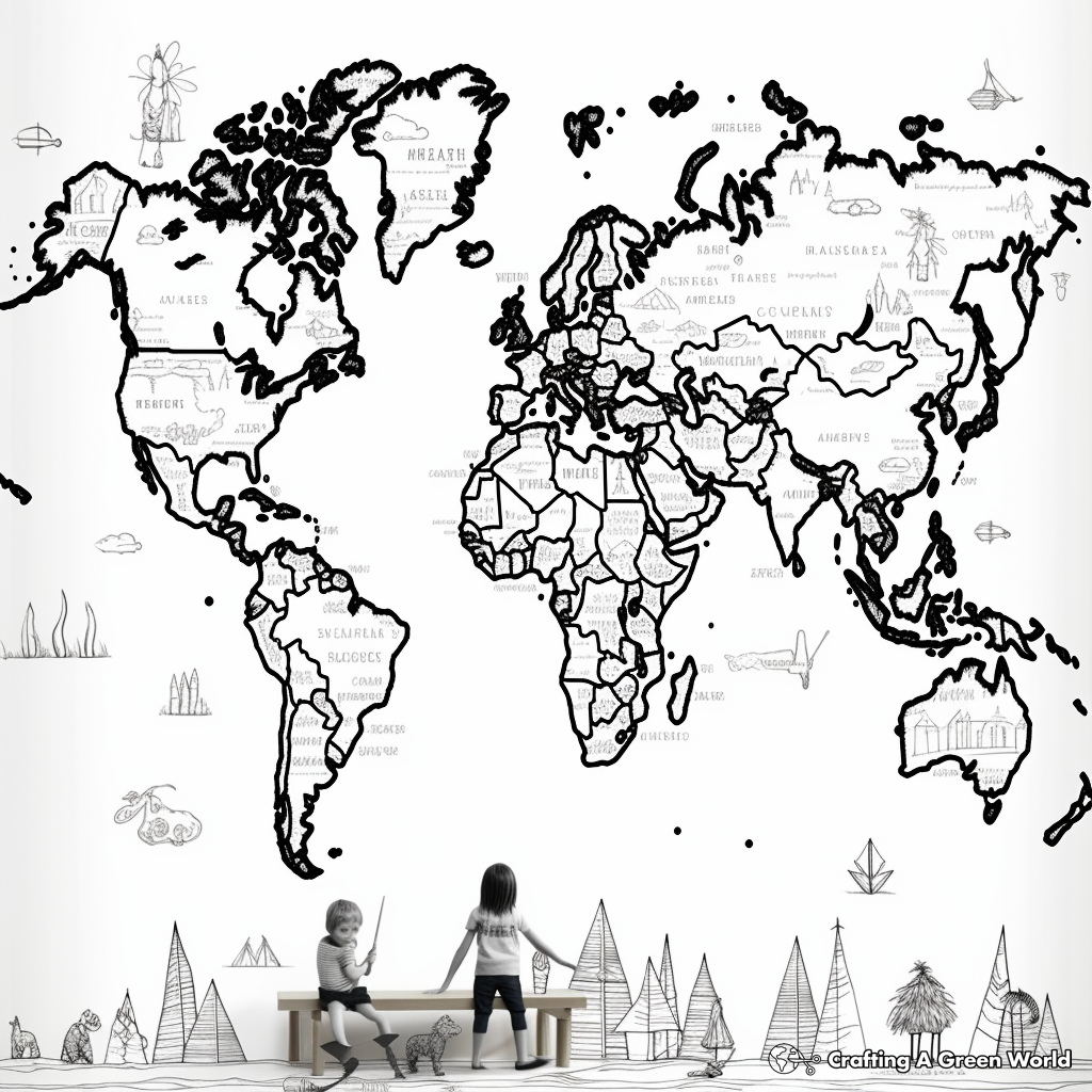
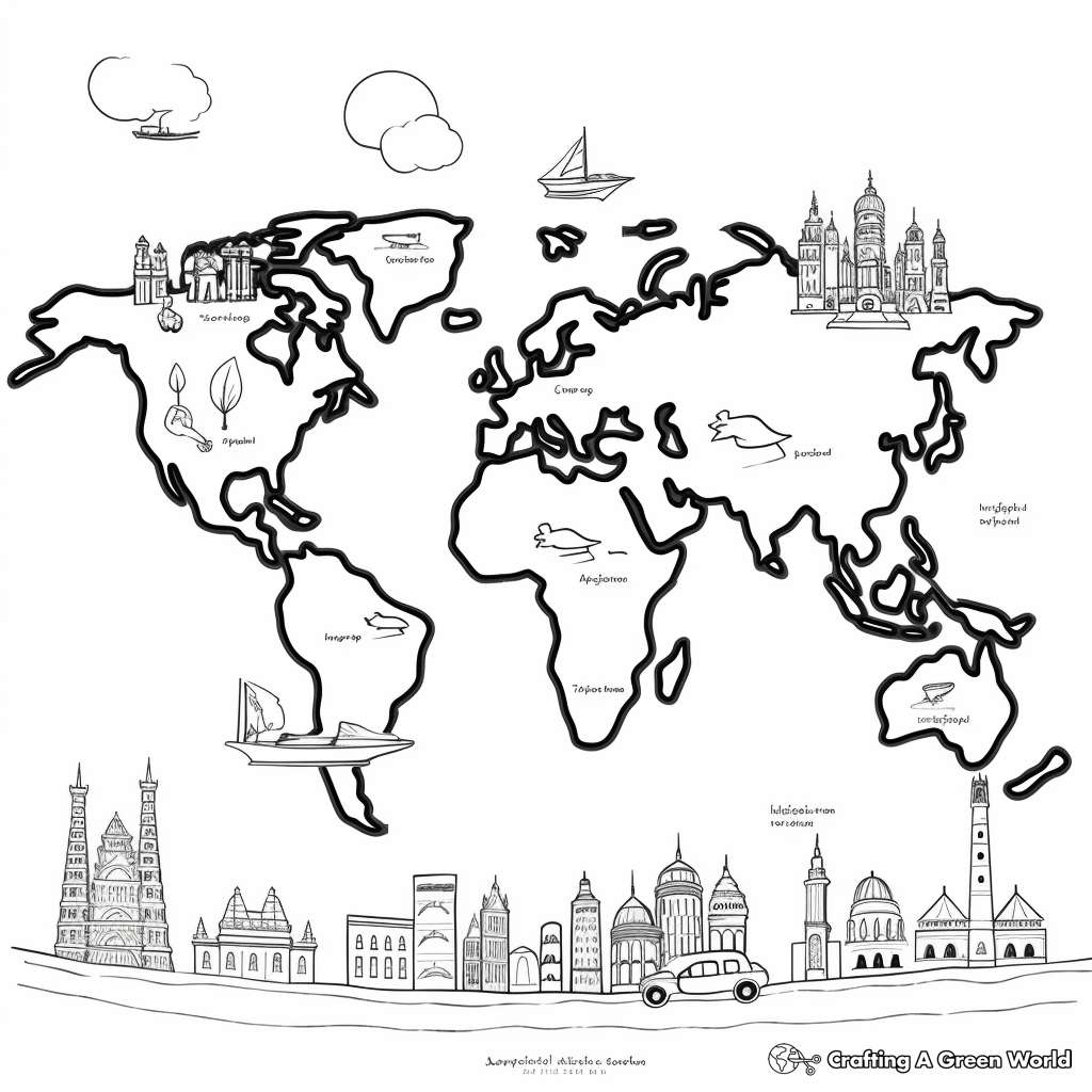
Historical Ancient World Map Coloring Pages
Tips For Coloring World Map
What colors should I use for a world map coloring page?
The choice of colors for your world map is really up to you. However, if you want to adhere to conventional wisdom, you can use light blue for the oceans and water bodies, and varying shades of green, brown and yellow for different types of terrains like forests, deserts and mountains respectively. You can use a darker blue to depict the borders between different countries.
How could I add details and make my world map look more realistic?
To make your world map more detailed and realistic, you can add major landmarks, national symbols, and country flags. You can also shade in the ocean to represent the deeper regions (usually the middle of the oceans) and lighter shades to represent the shallower areas. For land, use different colors and textures to represent deserts, forests, mountains, etc.
What special features should I focus on while coloring a world map?
While coloring a world map, you can pay special attention to geographical features like mountains, rivers, and forests. You can also focus on the borders of different countries and use different colors to distinguish them from one another. Including country flags or national symbols can also give your map an additional layer of detail.
Can you provide some interesting facts about world maps that I could incorporate into my coloring?
Absolutely, for instance, the Pacific Ocean is the largest ocean on earth and covers more than 60 million square miles. Africa is the continent that contains the most countries, with a total of 54. Russia is the largest country by land area. Including these kinds of details could make your coloring page both fun and educational.
Related Coloring Pages
About Our Coloring Pages
All of the coloring pages displayed on this page are free for personal use. You have our express permission to download, print, color, and enjoy these pages at your own leisure and convenience. Each piece of artwork on this page has been chosen to inspire creativity and make the world of coloring engaging and enjoyable for all age groups. This permission extends to small non-commercial group settings like classrooms or therapy settings - you have our permission to print these for free distribution to small groups.
This permission is granted strictly for non-commercial uses. These images can not be resold, republished, or used for commercial purposes in any form or method. You may not sell the final colored versions, or use them as design elements in a product that is sold. Please contact us for commercial licensing options.
Our priority is to support and inspire creativity among those who love to color. Please join us in honoring this purpose by adhering to these guidelines. Happy Coloring!